-1791966549842.webp)





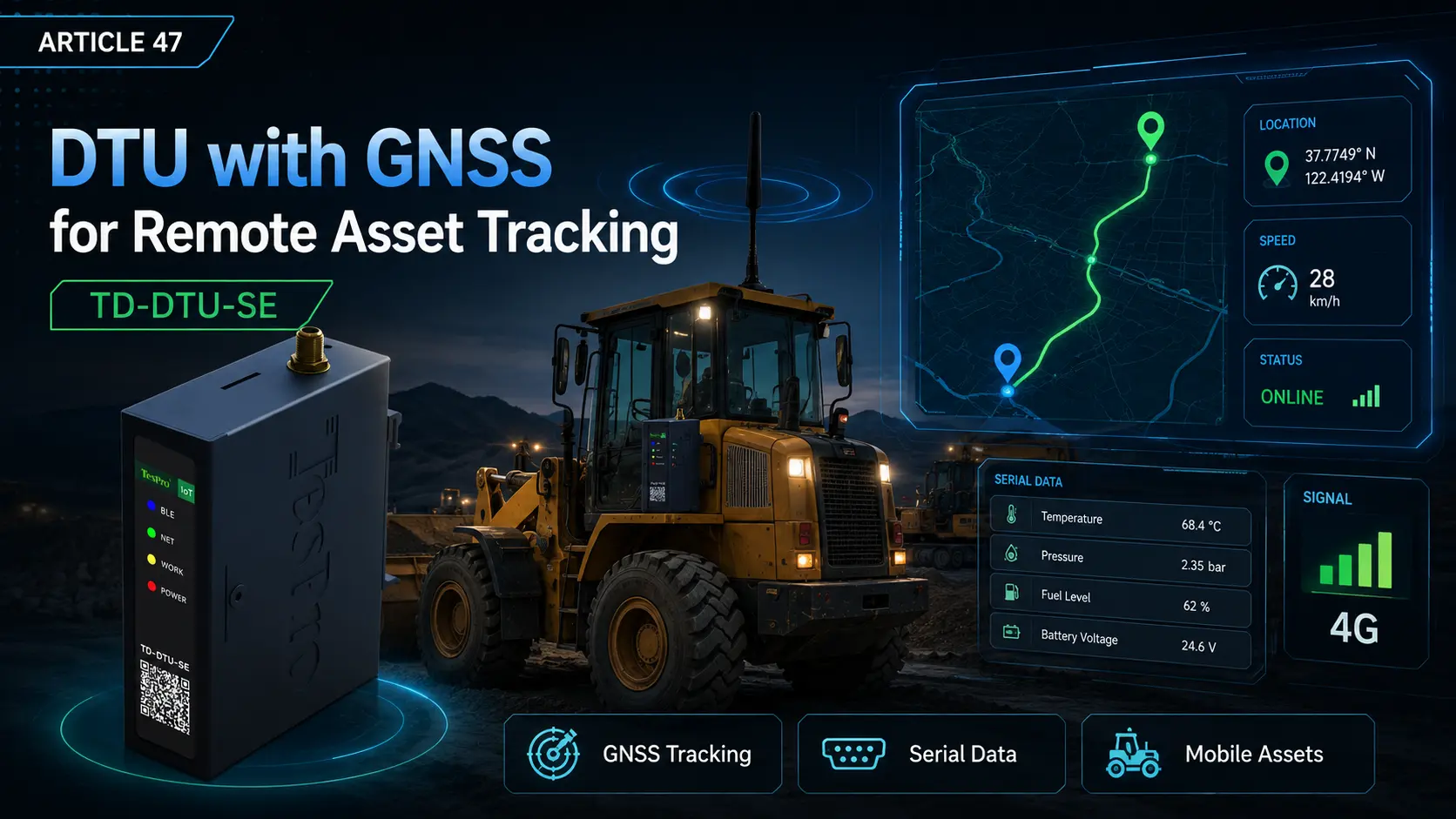

A GNSS-enabled DTU adds position, speed or time data to serial communications and can serve mobile equipment, machinery and remote assets. It is not a complete fleet-management platform; the project must also define antenna, positioning environment, reporting interval, payload, power, maps and alarms.
Key Takeaways
• GNSS quality depends on sky view and antenna installation.
• Higher reporting frequency increases traffic and power use.
• Position data should share consistent identity and timestamps with business data.
Combining location and device data
The platform may receive device ID, coordinates, speed, time, status and serial data. Define whether they share one payload or separate topics and whether tracks are buffered offline.
The antenna determines actual performance
Avoid metal shielding and noisy equipment. Confirm active/passive type, connector, cable and power. Indoor, underground and sealed-enclosure locations may not provide stable positioning.
The platform still handles maps and alarms
Geofencing, dwell, overspeed and track analysis are platform functions. The DTU provides location and communication data.
How Tespro Fits
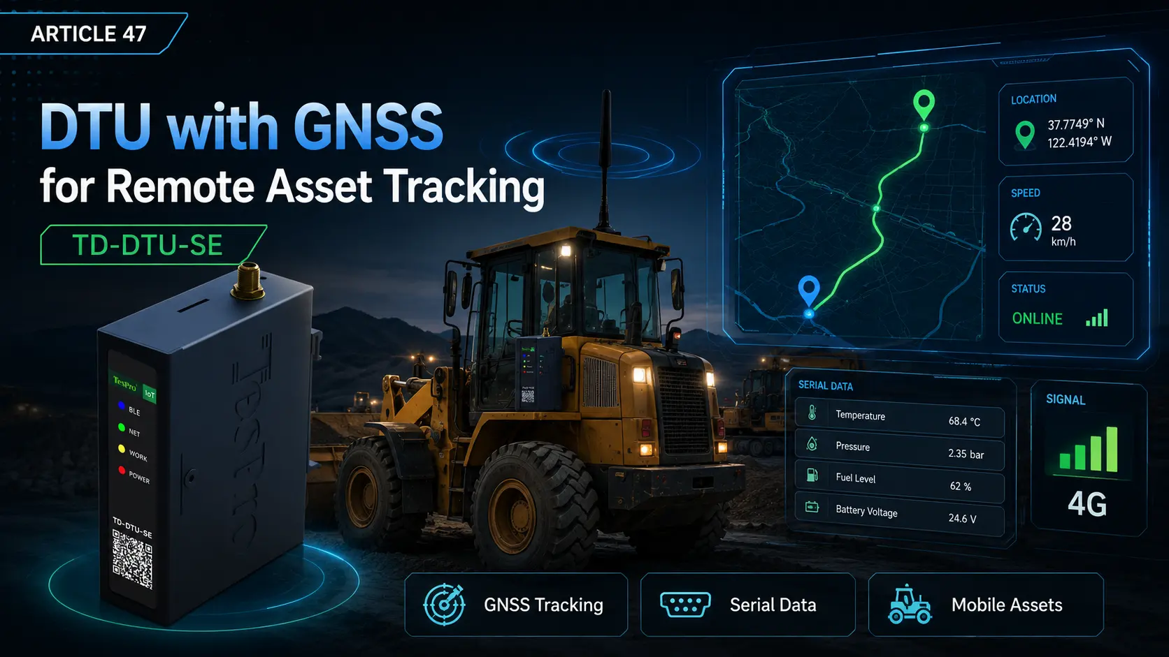
Selected Tespro TD-DTU configurations can be evaluated with GNSS capability. Confirm the exact model, antenna, location fields, reporting method and buffering behavior from current documentation and platform-integration tests.
Compatibility and Selection Checklist
✓ Fixed or mobile asset
✓ GNSS antenna and installation
✓ Accuracy and reporting interval
✓ Serial protocol and business payload
✓ Offline track buffering and replay
✓ Map, geofence and alarm platform API
Frequently Asked Questions
Q: Can a GNSS DTU locate indoors?
A: It may be unstable depending on the building, antenna and signal environment and requires testing.
Q: Does GNSS increase traffic and power use?
A: Yes, especially with frequent reporting and persistent connections. Evaluate by interval.
Q: Does the DTU provide a map automatically?
A: No. Maps and track visualization are provided by the platform or application.